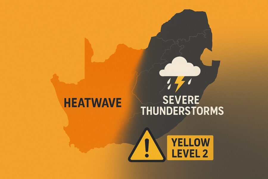
A sweeping clash of heat and storms is gripping South Africa today, with official alerts and real-time community updates turning Sunday’s weather into a national talking point.
The South African Weather Service (SAWS) has issued an impact-based Yellow Level 2 warning for severe thunderstorms for the eastern parts of the Northern Cape and the western parts of the Free State. The warning highlights the risk of localised flooding of roads, low-lying areas and bridges, along with dangerous driving conditions in storm-hit zones.
Forecasts for Sunday, 9 November 2025, show isolated to scattered showers and thundershowers across much of the interior, becoming widespread over central regions. Gauteng, North West, Free State, Mpumalanga and Limpopo are all expected to see thunderstorms in parts of the day, with SAWS guidance echoed and mapped by specialist platforms such as SnowReport and Snow News, which draw directly on official data.
At the same time, dangerous heat is building along the west and southwest, where heatwave conditions are flagged for the West Coast, the City of Cape Town and the western parts of the Cape Winelands. In Cape Town, maximum temperatures around 34°C are forecast, while inland areas of the Northern Cape climb towards 30°C and above, significantly increasing heat stress for vulnerable groups.
Detailed traveller forecasts based on SAWS data underline the sharp weather contrasts:
- Pretoria: 15–24°C, cloudy with isolated thundershowers
- Johannesburg: 13–23°C, cloudy with isolated thundershowers
- Bloemfontein: 15–25°C, scattered thundershowers
- Kimberley: 16–27°C, scattered thundershowers
- Upington: 19–30°C, widespread thundershowers
- Durban: 18–25°C, partly cloudy
- Cape Town: 22–34°C, fine, becoming partly cloudy
The Severe Weather and Information Centre SA (SWAICSA) community, which closely tracks high-impact events, is amplifying the alerts, warning of stormy conditions over large parts of the country from today into early next week, and highlighting the potential role of an upper-air system and possible cut-off low in sustaining severe thunderstorms.
Collectively, SAWS official products, specialist forecast sites, national media (including The Citizen and The South African), and active social media channels have pushed today’s warning pattern into the spotlight. The focus is clear: watch the sky over the central interior, respect flooded low crossings, expect rapid storm development where thunderstorms fire, and prepare for extreme heat along the west coast and parts of the Western Cape. Authorities and forecasters urge residents to monitor updates through verified SAWS platforms and heed Yellow Level 2 guidance, as even “localised” impacts can quickly become life-threatening when heavy downpours, lightning and urban flooding converge.
